
Mapping Tool Instructions for Use
Below are instructions for how to best use our Community Health Atlas: Environmental Impacts Mapping Tool.
General tip: Zoom in to areas of interest for best results.
Jump to a Section
1. Basic map controls

Pan
Click, hold and drag the pointer to pan across the map.
Zoom in or out
Click the "+" or "-" signs on the map to zoom in (+) or out (-). On most touch screens, you can also pinch to zoom.

Home
Click to go back to the initial map extent.

Find my location
Click to zoom in on your current location. Location permissions must be enabled on your device.

Address search
Use to search for an address or place.

Reset map orientation
Click to return the map to its original orientation, with north at the top.

Select basemap
Click to display a list of basemaps to choose from. You can choose from satellite imagery, street map, topographic map, and more.

Full screen
Click to make the map fill the entire screen. Click the button again to exit full screen.
Previous/next extent
The left arrow will bring you back to the previous map view. The right arrow will return you to the next view.

Measure
Click two or more points on the map to find the distance between them. Double-click the last point to finish measuring.
2. Selections

Select by
Once layers are activated, this tool allows you to select features on the map by drawing a shape containing the features you'd like to select.

Clear all selections
Whenever features are selected on the map, you can use this tool to clear all selections at once.

Selected features
This small window near the bottom of the map indicates how many features are currently selected.
3. Displaying data
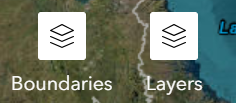
See available map layers
Click the icon labeled Layers to see a list of available data layers, or the icon labeled Boundaries to see county, congressional district or state boundary layers you can choose to display on the map.
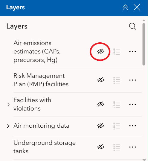
Select layers to display
Click the eye icon next to a map layer to display it on the map.
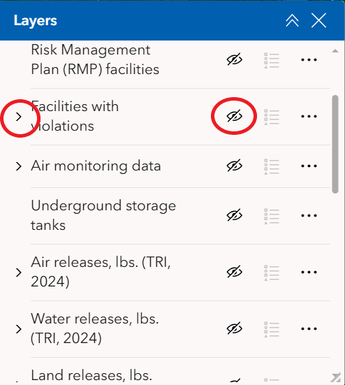
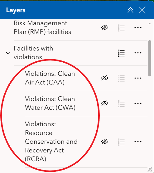
Display sublayers
Some layers are grouped under categories. To display these sublayers, click the ">" symbol next to the category to see all its sublayers, then click the eye icon next to the category name. You can display individual sublayers by clicking the eye icon next to each sublayer.
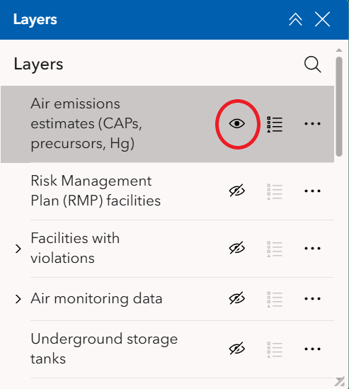
Turn map layers off
To turn a layer off, place your pointer over the layer in the list until the eye icon reappears, then click it again. When a layer is turned off, the eye icon will appear crossed out.
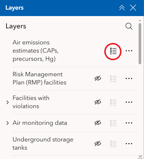
Display map legend
To display the legend symbols for the layer(s) on the map, click the legend symbol next to the active layer(s).
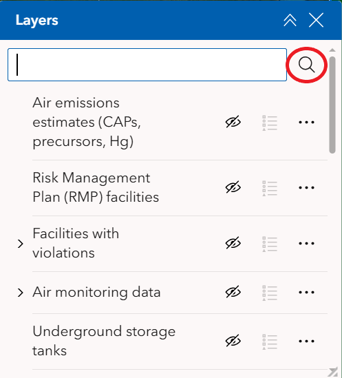
Search for a specific layer
Click the magnifier icon in the layers window and a search box will appear. Type your search term(s) in the box.
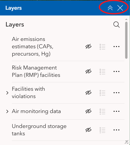
Close or minimize the layers list
Click the arrows on the upper right of the window to minimize it, or the "X" to close it.
4. Information panel and output tools
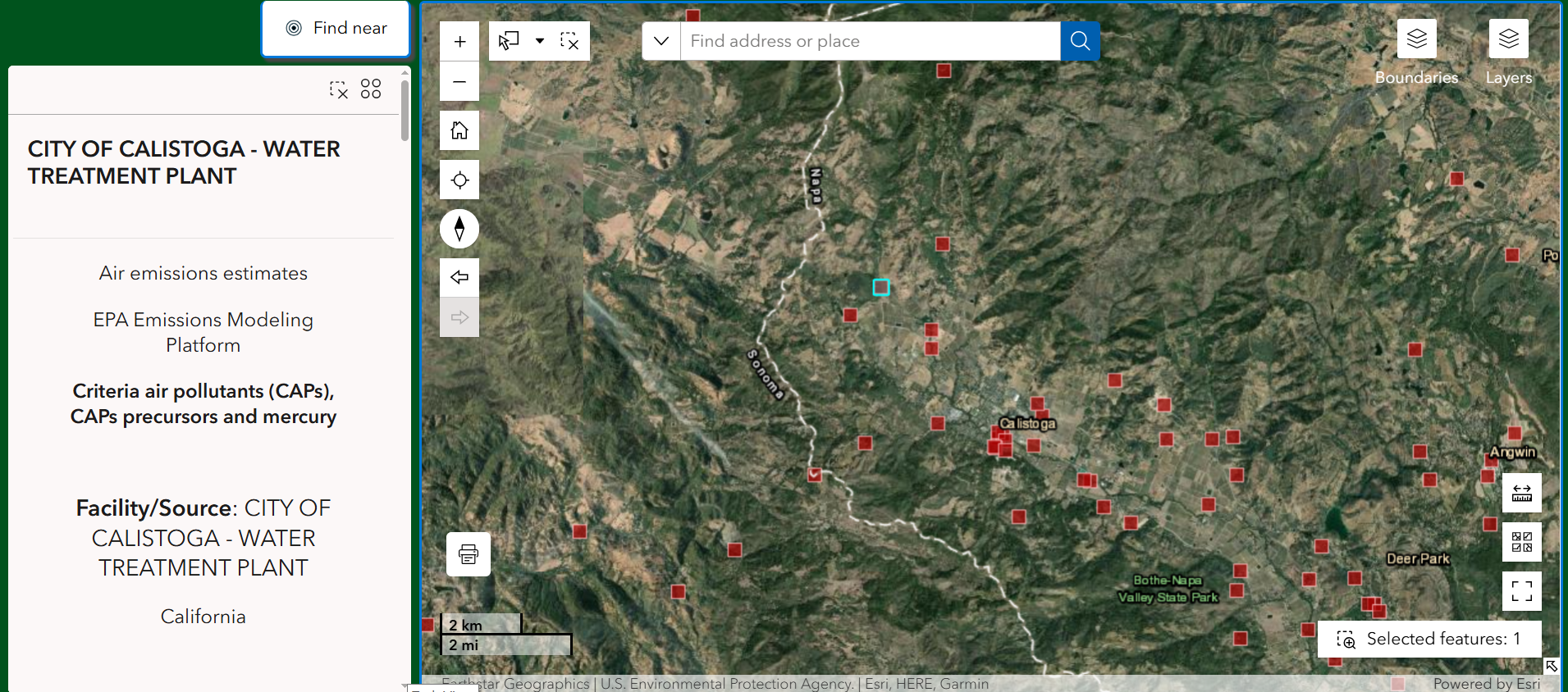
Information panel (desktop version only)
When layers are activated and features are selected, their information will appear here. To select a feature and see its information, click it. To select multiple features at once, use the "select by" tool described above.

Clear selected feature
This button near the top right of the information panel will clear the selected feature.
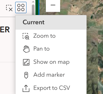
Actions
This button on the top right of the information panel gives you a menu of options, including zooming to the selected feature or exporting its data.
Find near
This tool lets you select a point on the map and find features within a chosen radius, which will be displayed on a list. Click the "Find near" button and follow the instructions in the pop-up window. Close the window by clicking the "X" button on the upper right to return to the regular information panel.

Click for print options.
Disclaimer
The data provided in the Community Health Atlas (CHA) have been sourced from government, academic and private sources and are provided as a public resource by Earthjustice Action without endorsement by any other organization or entity. While efforts have been made to ensure the accuracy of the data, Earthjustice Action makes no warranties, expressed or implied, concerning the accuracy, completeness or suitability of the data. The data and information in the CHA are not to be construed as legal advice.
Environmental, health, socioeconomic, and demographic data are dynamic and subject to change at any time. Certain demographic data are provided for informational purposes only and users may choose to review only some of the information provided in the tool. Users are directed to consult the original data sources to ensure they obtain the most recent data. Where the data provided are the result of calculations performed by Earthjustice Action, this is indicated in the notes accompanying the data. Earthjustice Action shall not be held liable for improper or incorrect use of the data described and/or contained herein.